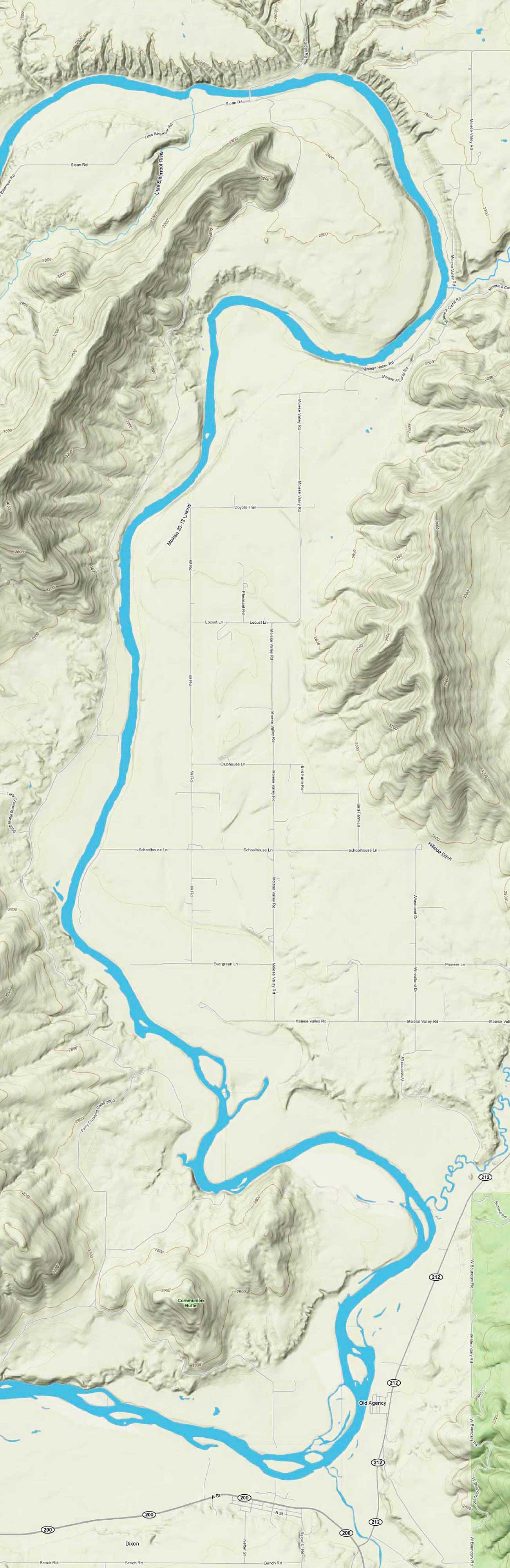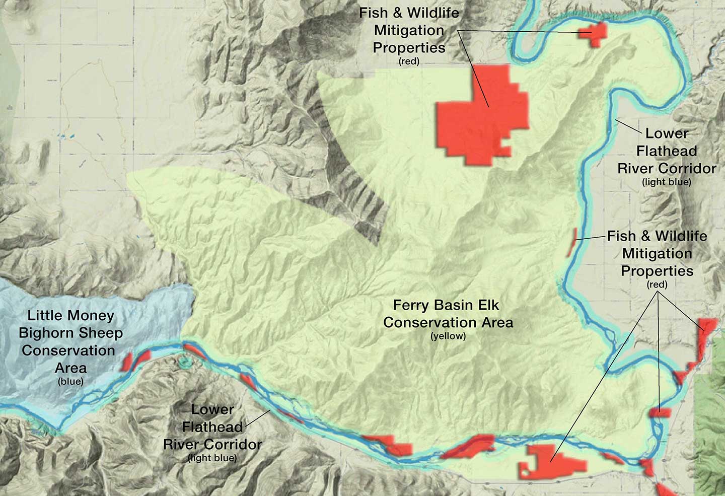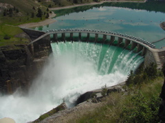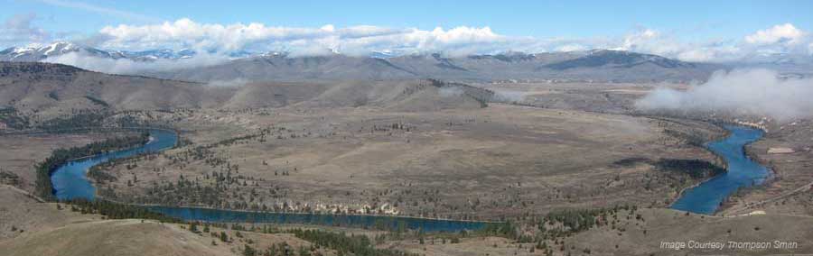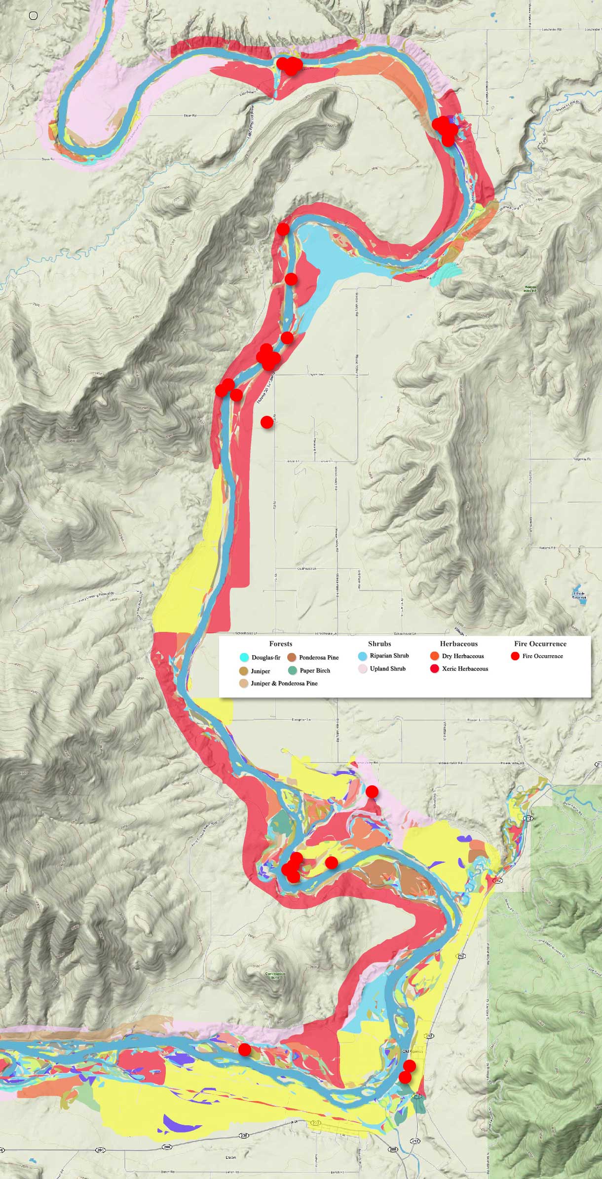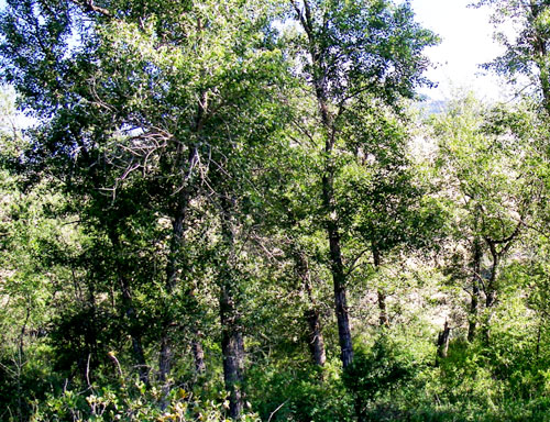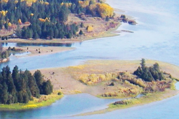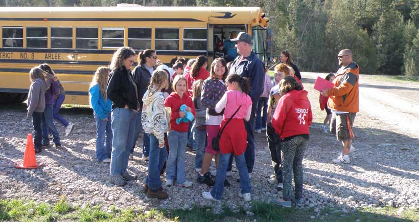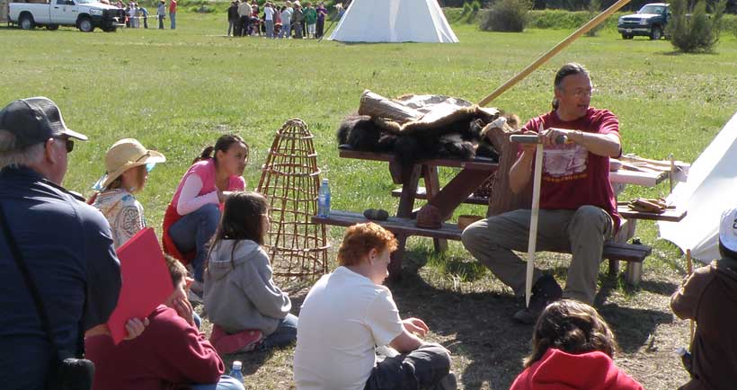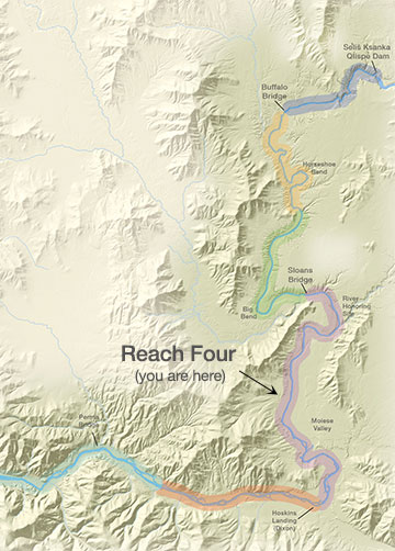


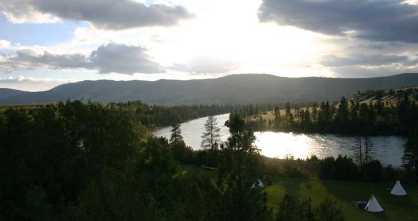


There are two dams that have hurt native fish and wildlife on the lower Flathead River: Se̓liš Ksanka Qĺispe̓ Dam (what used to Kerr Dam) and Hungry Horse Dam. Se̓liš Ksanka Qĺispe̓ Dam is located on the river at the outlet of Flathead Lake; Hungry Horse Dam is located on the South Fork of the Flathead River upstream from Flathead Lake. The dam owners and operators have provided funds to the Tribes to purchase lands to replace lost fish and wildlife habitat and to enhance fish and wildlife production. Once land is purchased, the Tribes write a plan for managing it specifically for fish and wildlife. To date they have expended millions of dollars for mitigation lands, some of which are shown in red on this map. Fish and wildlife and the humans who fish, hunt, and otherwise appreciate a healthy environment have been the big winners.