Interactive Map
Natural and Human History of the River
Interactive Map
The Natural and Human History of the
Lower Flathead River
Interactive Map
The Natural and Human History of the
Lower Flathead River
Interactive Map
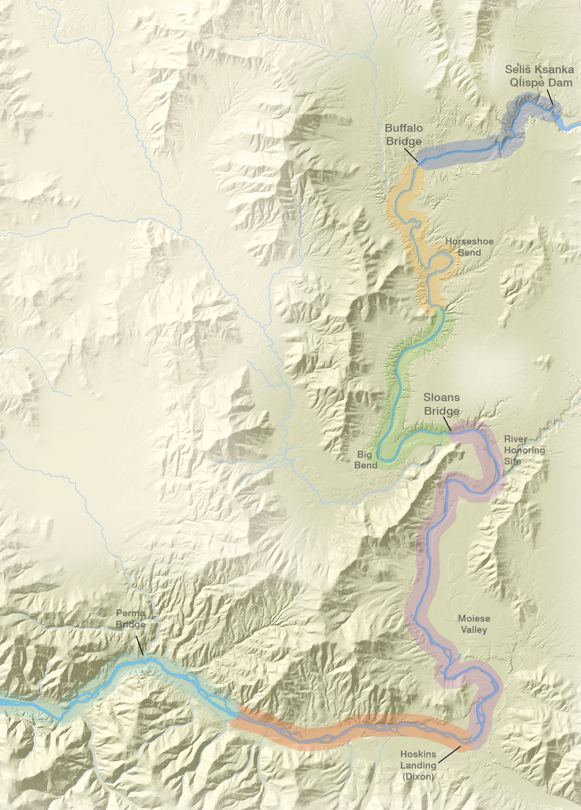
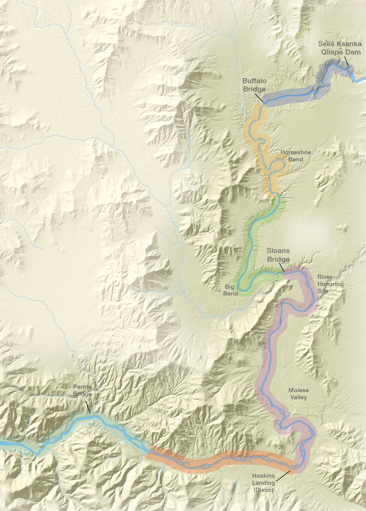
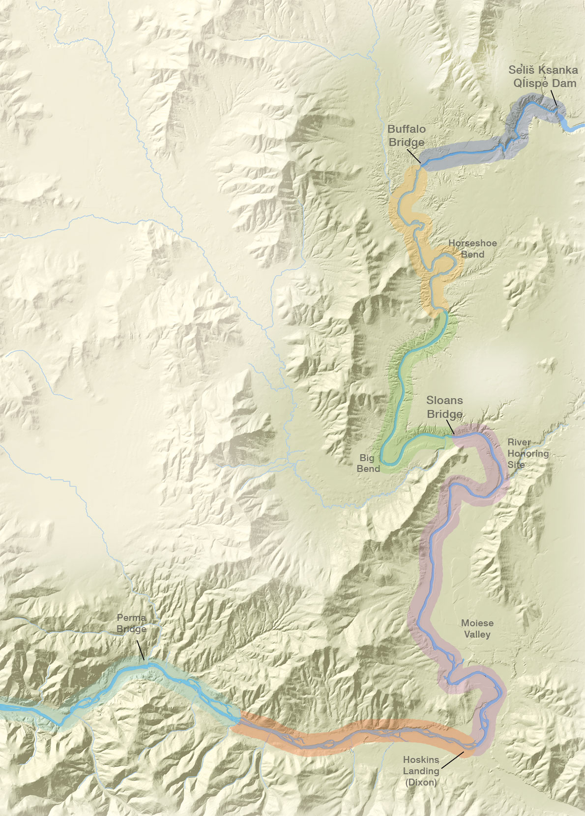
The Lower Flathead River is Montana's fourth largest river. It begins at the south end of Flathead Lake where it is regulated by Se̓liš Ksanka Qĺispe̓ (SKQ) Dam. The river then flows south for 47 miles through undeveloped range and crop land. At Dixon, it turns west and flows another 25 miles to its confluence with the Clark Fork.
For the Tribes, the river is important as a cultural and historical resource. Upper Pend d'Oreille, Salish, and Kootenai families and individuals continue to camp, hunt, fish and harvest foods and medicinal plants along its banks, as their ancestors did.
The interactive map allows you investigate the natural and human history of the lower Flathead River, everything from prairie falcons to ferry crossings. From SKQ Dam to the confluence with the Clark Fork River, the map includes over 65 stops, click on them to learn about things like river flows, rattlesnakes, the history bison on the river, fish, vegetation, the history of SKQ Dam, and the river's geology.


